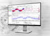
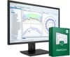
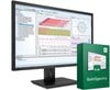
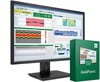
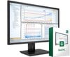
ibaAnalyzer Maps View
Featured Product from iba America LLC
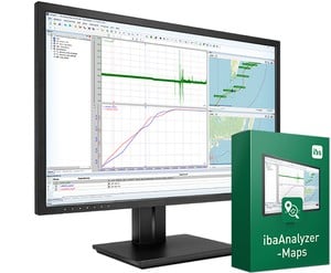
The maps view in ibaAnalyzer displays geographic positions and movement based on GPS coordinates. Therefore, ibaAnalyzer can be used to not only know when something happened but also where. Simply record longitude and latitude signals and start tracking your assets.
- Display configurable routes on different map types
- Analysis of geographic positions together with high-resolution measurement data
- Two-way coupling of marker positions
- Use maps in ibaAnalyzer-Reportgenerator
- Integrated playback function