10.4 GPS for civil engineering applications
Civil engineering works are often done in a complex and unfriendly environment, making it difficult for personnel to operate efficiently. The ability of GPS to provide real-time submeter- and centimeter-level accuracy in a cost-effective manner has significantly changed the civil engineering industry. Construction firms are using GPS in many applications such as road construction, Earth moving, and fleet management.
In road construction and Earth moving, GPS, combined with wireless communication and computer systems, is installed onboard the Earthmoving machine [5]. Designed surface information, in a digital format, is uploaded into the system. With the help of the computer display and the real-time GPS position information, the operator can view whether the correct grade has been reached (see Figure 10.4). In situations in which millimeter-level elevation is needed, GPS can be integrated with rotated beam lasers [6].
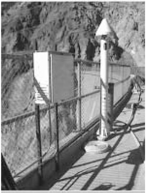 Figure 10.4: GPS for construction applications.
 The same technology (i.e., combined GPS, wireless communications, and computers) is also used for foundation works (e.g., pile positioning) and precise structural placement (e.g., prefabricated bridge sections and coastal structures). In these applications, the operators are guided through the onboard computer displays, eliminating the need for conventional methods [7].
GPS is also used to track the location and usage of equipment at different sites. By sending this information to a central location, GPS enables contractors to deploy their equipment more efficiently. Moreover, vehicle operators can be efficiently guided to their destinations.